Dropcopter
Optimize Your Orchard with Dropcopter
Providing industry-leading precision crop load management and Cartographer scanning services in California, USA.
Dropcopter Quick Facts
| Service Area | California, USA |
|---|---|
| Crop Expertise | Apples, Cherries, Prunes, Grapes, Stone Fruit, Plums, Pears, Avocados, Citrus, Almonds, Pistachios, Olives |
| Services Offered | Thinning analysis and guidance, Crop Condition, Crop Estimation, Research Plot Comparisons, Flower Mapping, Fruit Mapping, Leaf Area, Canopy Height, Zone Maps for Variable Rate Application |
| Phone | +1 530 586 4770 |
|---|---|
| [email protected] | |
| Website | www.dropcopter.com |
Why Growers in the USA trust Dropcopter
A decade of drones, data, and better harvests
Dropcopter’s mission is to bring its tools, services and expertise to help farmers make the best use of their land to feed a hungry world. For over a decade, Dropcopter has focused on drone-based aerial delivery of pollen to orchard trees and the visualization of crop growth patterns during the season. Early in the growing season, Dropcopter’s automated drone aircraft drop pollen onto blooming crops, promoting up to 45% additional fruit and nuts distributed throughout the trees. Throughout the growing season, Dropcopter brings experience with growers, independent research companies, Oregon and California Universities and Extension services, vertically integrated packers, state and industry crop data collection agencies, crop insurance carriers and others to help you quickly and accurately evaluate your orchard and direct your efforts to where they are needed most.
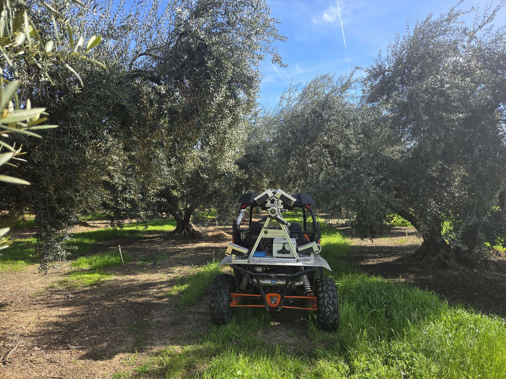
Dropcopter and Green Atlas
As Dropcopter sought to prove the benefits of aerial pollen treatments, they engaged in a number of research projects to count the number of fruit in treated and untreated portions of an orchard. Partnering with Green Atlas provided the only source of real-time growth insight not just into the isolated test areas but throughout the orchard. Dropcopter soon expanded their service offerings to deliver the benefits of precise crop assessments throughout the season to inform key activities including thinning, treatments, and crop estimation to help growers make the best and most economical choices for their crops. Dropcopter’s experience with many varieties of orchards and vineyards, along with Green Atlas ground-based scanning tools, delivers the management insight growers need from flowering to fruit-set to harvest.
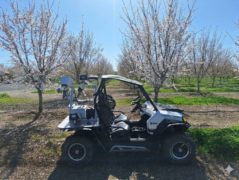
Powered by Green Atlas Cartographer
The full picture, from flower to fruit
Dropcopter primarily uses Green Atlas Cartographer to deliver crop load information for vineyard grapes and fruit/nut orchards (apple, cherry, prune, stone fruit, almond and pistachio) to support choices in treatment and thinning, resulting in an optimum crop. Crop estimation services are also provided, to give growers and packers accurate forecasts of crop volume, including both fruit counts and size profiles. Dropcopter also creates AI powered tools to provide valuable insight into pruning requirements during the winter months, helping growers ready their trees and vines for the next season, based on data from Green Atlas Cartographer.
Better trials, better results
Dropcopter helps researchers turn field trials into clear, actionable data. Using Green Atlas Cartographer, slow, manual measurements are replaced with fast, accurate, and repeatable data collection across entire blocks. The Dropcopter team has extensive experience supporting hybrid management trials, crop load trials, nutrition studies, and other orchard research programs. Green Atlas Cartographer data can also drive variable-rate applications such as spraying, root pruning, and product spreading. By targeting inputs where they are needed most, growers can reduce product use, manage tree vigor more precisely, and improve overall orchard uniformity.
Ready to map and optimise your orchard?
Get in touch with Dropcopter to get started.